At the heart of every successful project is accurate information — and that’s where our Survey Team excels.
With a blend of experience, precision, and innovation, our dedicated surveyors provide the data and insights that form the foundation for informed decision-making and successful project delivery.
What We Do
Our team specializes in a full range of surveying services, including:
- Topographical & Land Surveys – Delivering detailed site data for design and planning.
- Boundary & Property Surveys – Ensuring clarity and compliance in land ownership and development.
- Engineering & Construction Surveys – Providing precise measurements for infrastructure and building projects.
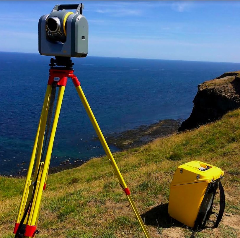
- Drone & 3D Laser Scanning – Leveraging the latest technology for rapid, high-accuracy spatial data collection.
- Utility & Underground Mapping – Locating and documenting subsurface utilities to reduce risk and increase safety.
Our Approach
Accuracy, safety, and efficiency drive every project we undertake.
We combine the latest surveying technologies with a deep understanding of industry standards and client needs. Our surveyors work closely with engineers, architects, and project managers to ensure seamless data integration and dependable results from start to finish.
Meet the Team
Our survey team is composed of licensed professionals, skilled technicians, and certified drone pilots — all committed to excellence in the field and in the office.
From initial site reconnaissance to final data delivery, we take pride in providing reliable, high-quality surveying services that support the success of every project.